Remote Sensing Desertification
Jordan Valley
2015 - 2018, Ecopeace Middle East
While the international community saw arid zone development in the post-war era as a fight against desertification, arid lands are characterized by contrasts shaped by access to water.
Since pre-historic times, people have lived in arid zones, which are not necessarily marked by an absolute lack of water, but a different evolution of human settlements in a context of contrasts and extreme variability.
Desertification is contingent on spatial factors, on power, infrastructure and borders.
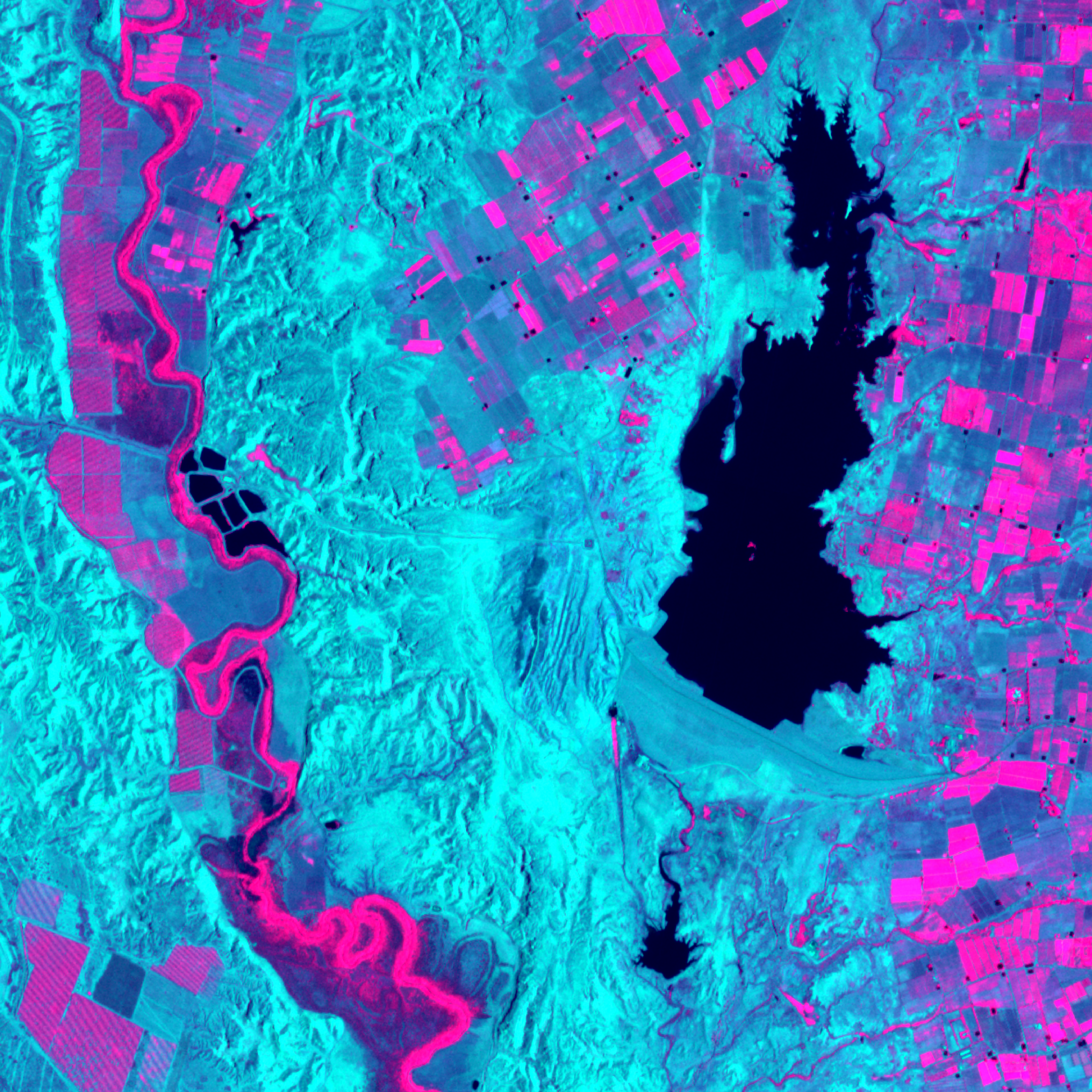
Following the Jordan River from Lake Tiberias to the Dead Sea, we see a landscape transformed by modern agriculture and infrastructure. Downstream of Jordan River, the Dead Sea is shrinking as freshwater is diverted to date farms, fish ponds and mineral extraction. Fresh water aquifers along its perimeter of the lake are receding with it.
This research, conducted with support from the Jordan Valley Authority, Aga Khan Foundation and MIT International Science and Technology Initiative, uses remote sensing imagery and groundtruthing surveys to map the uneven distribution of water access and the risk of climate-induced displacement in Jordan Valley.
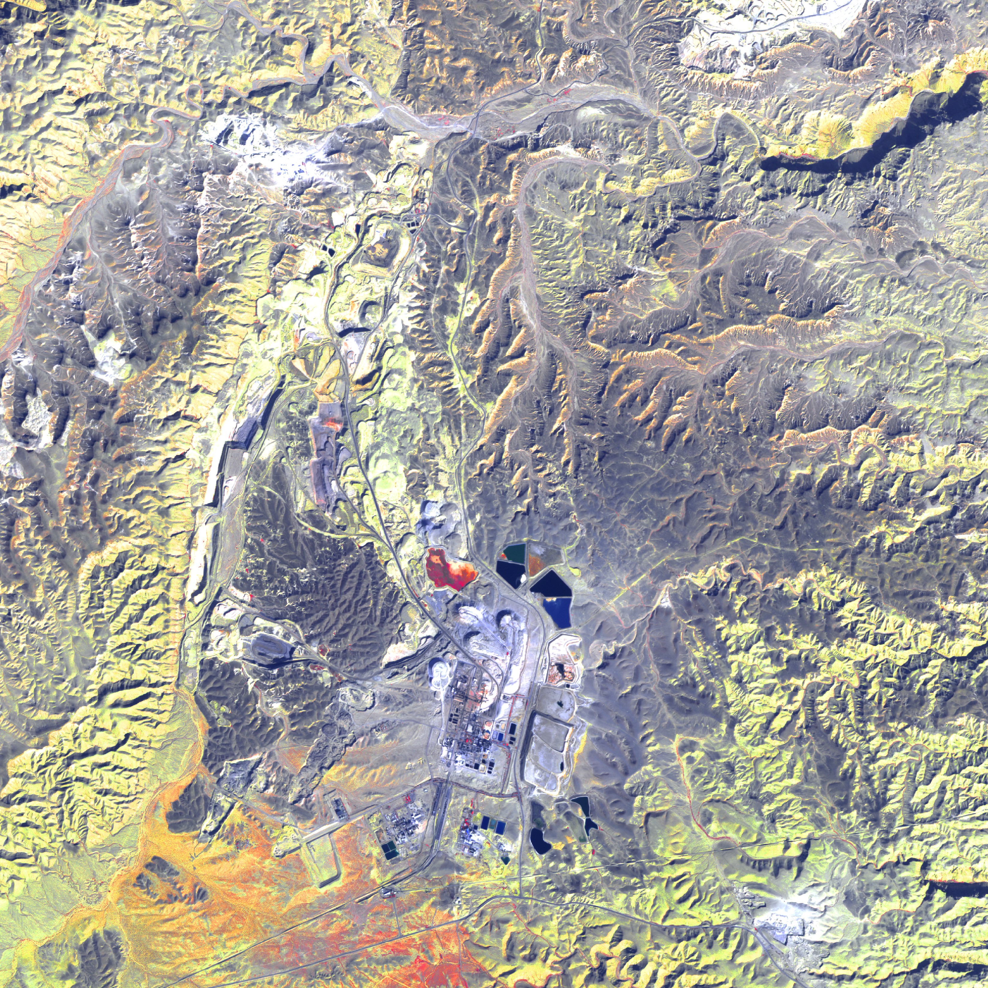
1. A false color image of Jordan Valley [combining Near Infrared, Red and Green Bands] Jordan River disects Israeli kibbutz farms and fish ponds on the left from Jordanian family farms on the right. 2. Normalized difference vegetation index (NDVI) of Jordan Valley. 3-6. False color images of different sub-regions of Jordan Valley. Satellite Images obtained through the Planet Application Program Interface: In Space for Life on Earth. San Francisco, CA.
Following the Jordan River from Lake Tiberias to the Dead Sea, we see a landscape transformed by modern agriculture and infrastructure. Downstream of Jordan River, the Dead Sea is shrinking as freshwater is diverted to date farms, fish ponds and mineral extraction. Fresh water aquifers along its perimeter of the lake are receding with it.
This research, conducted with support from the Jordan Valley Authority, Aga Khan Foundation and MIT International Science and Technology Initiative, uses remote sensing imagery and groundtruthing surveys to map the uneven distribution of water access and the risk of climate-induced displacement in Jordan Valley.
1. A false color image of Jordan Valley [combining Near Infrared, Red and Green Bands] Jordan River disects Israeli kibbutz farms and fish ponds on the left from Jordanian family farms on the right. 2. Normalized difference vegetation index (NDVI) of Jordan Valley. 3-6. False color images of different sub-regions of Jordan Valley. Satellite Images obtained through the Planet Application Program Interface: In Space for Life on Earth. San Francisco, CA.